Yuelarbah Walking Track Guide (Glenrock Reserve)
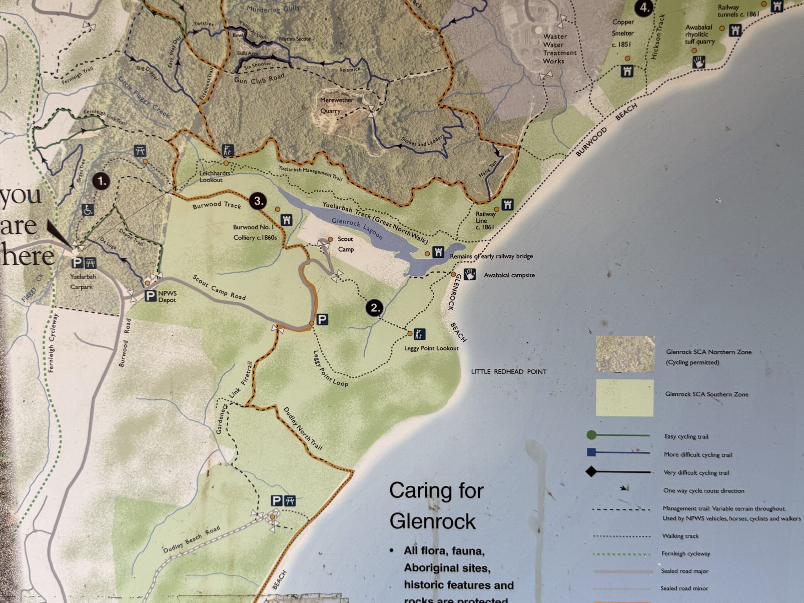
If you’re looking for one of Newcastle’s most rewarding bushwalks, the Yuelarbah Walking Track combines towering spotted gums, trickling creek lines, waterfalls, rainforest-like scenery, fascinating mining history and spectacular coastal views, all in a single walk. Following Flaggy Creek through Glenrock State Conservation Area, the track eventually leads to Glenrock Lagoon and the beach beyond.
Quick Checklist
| Feature | Details |
|---|---|
| Location | Glenrock State Conservation Area, Newcastle |
| Distance | Approx. 6.8 km return to the beach (depending on starting point and detours) |
| Grade | Grade 3 – Easy to Moderate |
| Time Required | 2–4 hours |
| Good For | Families, nature lovers, birdwatchers, photographers, visitors to Newcastle |
| Wheelchair Accessible | Partially – accessible to the picnic area with assistance due to gradient |
| Pram Friendly | To the lookout with assistance on steps |
| Parking | Large car park at Yuelarbah Track trailhead |
| Toilets | No |
| Picnic Tables | Yes |
| Bins | No – take your rubbish home |
| Dogs Allowed | No |
| Bikes Allowed | No |
| Swimming | Possible at Glenrock Lagoon |
| Waterfalls | Small cascades along Flaggy Creek |
| Lookout | Yes – coastal and lagoon views |
Getting There
Yuelarbah Walking Track Head is located on Burwood Road, approximately 15 minutes south of Newcastle. There is a bitumen carpark with approximately 20 spaces including 3 accessible spaces. Overflow parking is available on Burwood Road.
Don’t have a car. You can still enjoy the walk through Glenrock State Conservation Area. take Bus 14 or 263 (easiest) from Newcastle/Charlestown and alight at Kahibah Road before Kirve Ave. The walk through the residential areas and along Burwood Road is approximately 1.5km.
This guide breaks the track into 3 distinct sections, based on accessibility.
Section 1: Car Park to the Shaded Picnic Area
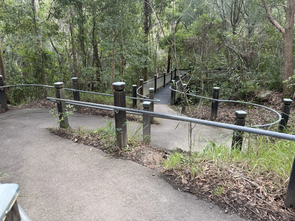
The walk begins from the Yuelarbah Track car park, where a wide bitumen pathway leads into a beautiful spotted gum forest. While the track has a noticeable gradient, it remains fully sealed and is accessible for wheelchairs, though assistance would likely be required for many users on the steeper sections.
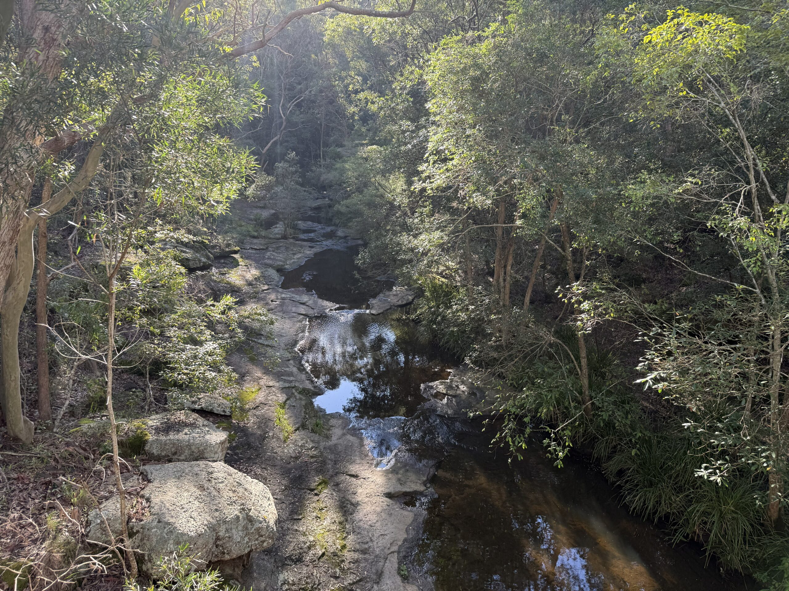
This first stretch is a wonderful introduction to Glenrock’s natural beauty. The path follows Flaggy Creek as it winds through broad rock platforms, where water gently trickles across the stone. After rain, these rock waterways become even more impressive, but even during drier periods they add a peaceful soundtrack to the walk.
One of the highlights here isn’t what you see—it’s what you hear. The forest is filled with the unmistakable calls of bellbirds. Their constant musical “bings” echo through the trees, often sounding much closer than they really are. Many walkers find themselves stopping repeatedly to search for the tiny brown birds responsible for the enchanting chorus.
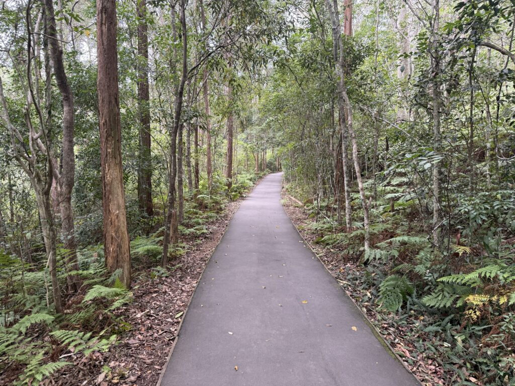
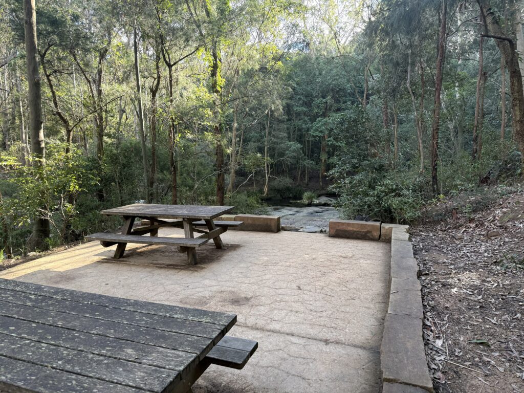
The shaded picnic area beside Flaggy Creek is an excellent place to pause. Surrounded by spotted gums and accompanied by the sound of flowing water and bellbirds, it’s one of the most relaxing spots in Glenrock State Conservation Area. Picnic tables are available, but remember there are no bins, so you’ll need to carry all rubbish out with you.
Section 2: Picnic Area to the Lookout
Beyond the picnic area, the bitumen pathway continues as it follows Flaggy Creek deeper into the valley. While this section remains relatively accessible, it does include several sets of steps.
Families with prams or strollers can still reach the lookout, although having two adults makes navigating the stairs significantly easier. The path remains well-defined and easy to follow throughout.
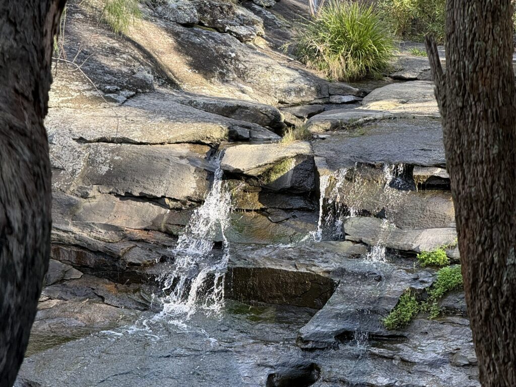
As you continue alongside the creek, you’ll pass a couple of small waterfalls cascading over the rock shelves. During dry periods these falls may be little more than trickles, but it’s easy to imagine how spectacular they would become after sustained rainfall when large volumes of water surge through the valley.
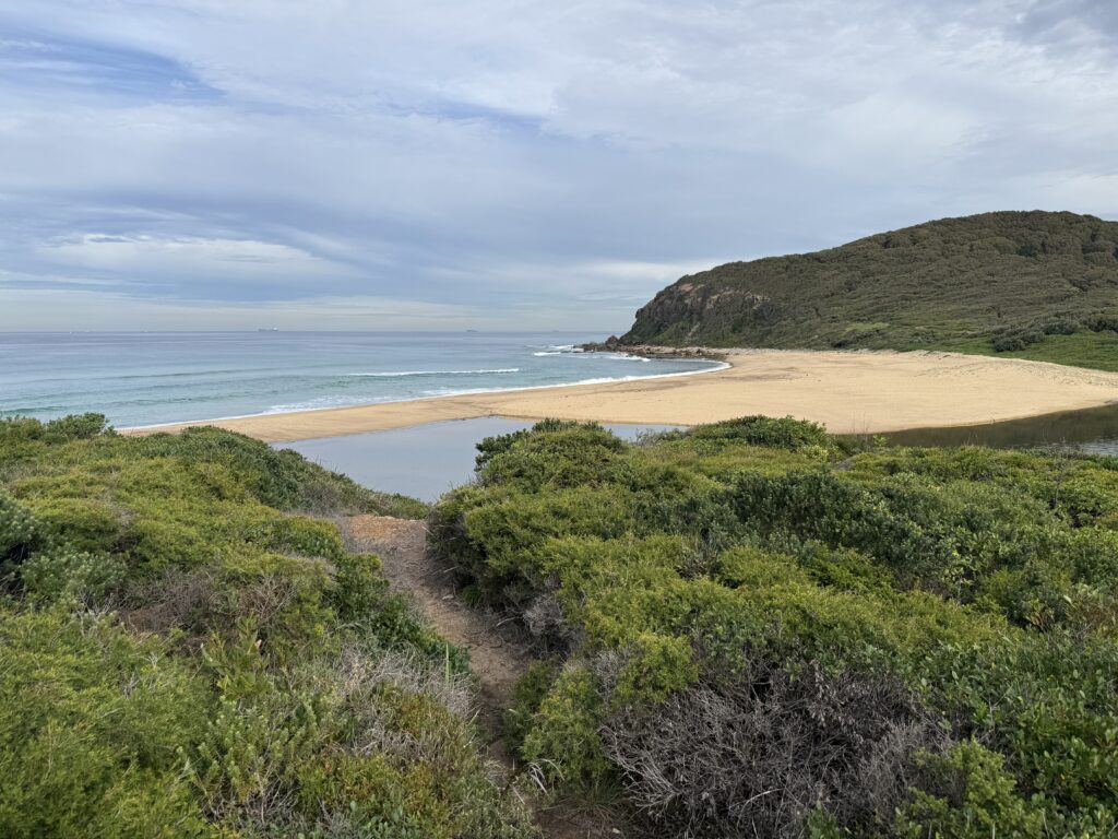
Eventually you’ll arrive at the Yuelarbah Lookout, a metal viewing platform positioned high above Glenrock Valley. The views from here are outstanding. Looking east, Glenrock Lagoon sits nestled behind the beach, while the Pacific Ocean stretches toward the horizon. On many days you’ll also spot coal ships anchored offshore, waiting their turn to enter the Port of Newcastle.
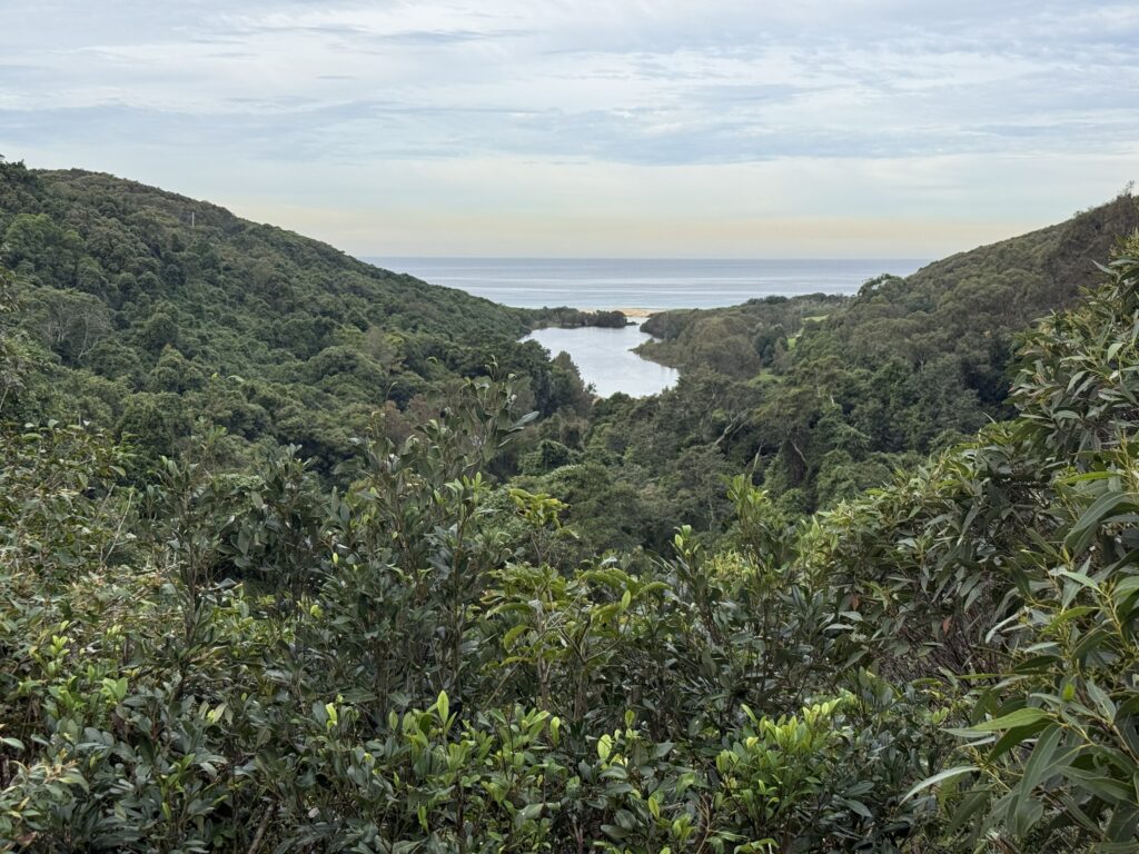
This is a great location for photos and often marks the turnaround point for walkers wanting a shorter outing.
Section 3: Lookout to Glenrock Lagoon and Beach
From the lookout, the character of the walk changes considerably. The track becomes less formal, although it remains easy to follow and well-trodden.
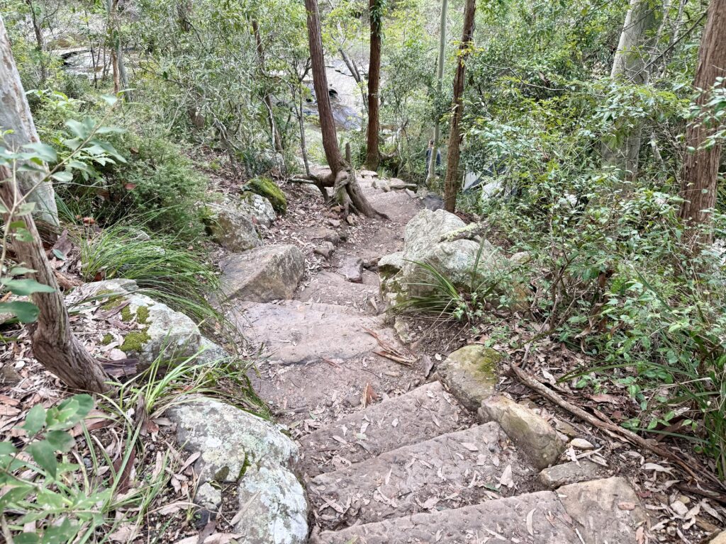
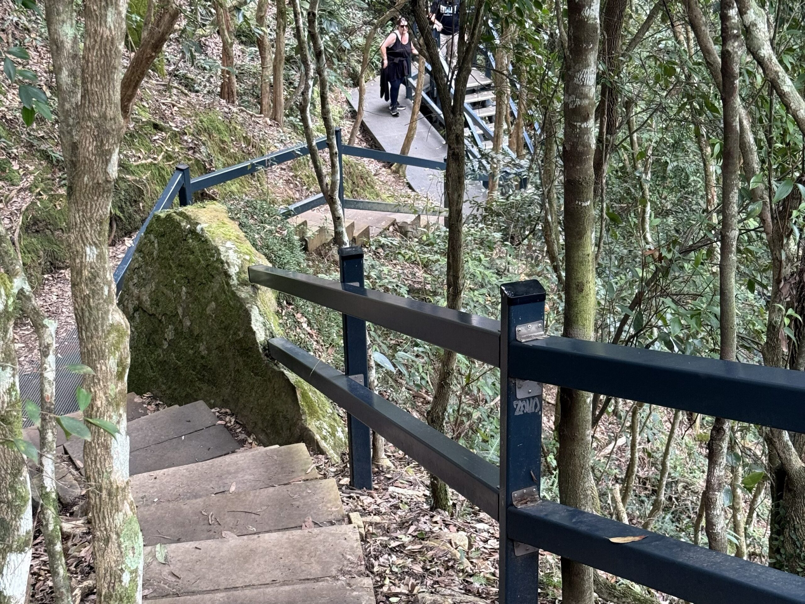
A long series of metal stairs descends into the valley, followed by sections of sandstone steps and natural bush track. Several bridges cross smaller waterways, and depending on recent rainfall, some areas can be muddy or boggy.
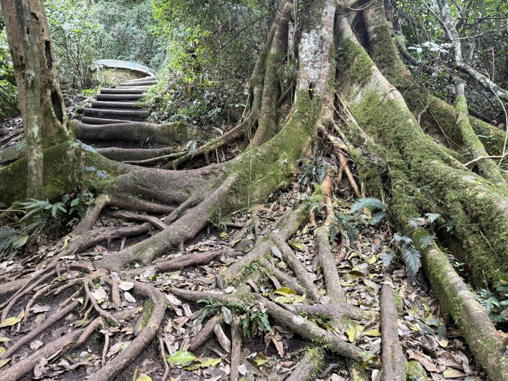
Tree roots become increasingly prominent along the path, creating uneven surfaces underfoot. Good footwear is recommended, particularly after wet weather.
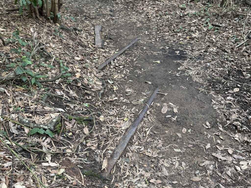
This section also reveals some of Glenrock’s fascinating industrial history. As you descend, you’ll encounter remnants of the old colliery that once operated in the area. Old timber sleepers have been strategically placed to help walkers navigate boggy sections of track, and keen observers will notice historic rail lines still crossing the path in one location.
The vegetation also changes noticeably. The open spotted gum forest gives way to lush greenery that feels almost rainforest-like in places, creating a cool and sheltered environment as you approach the coast.
Eventually the track reaches Glenrock Lagoon. A bench overlooking both the lagoon and beach provides the perfect place to rest and take in the scenery. Wildlife sightings are common here. During my visit, a white egret stood gracefully in the lagoon, adding to the peaceful atmosphere.
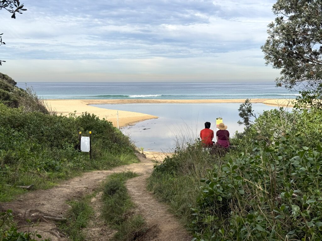
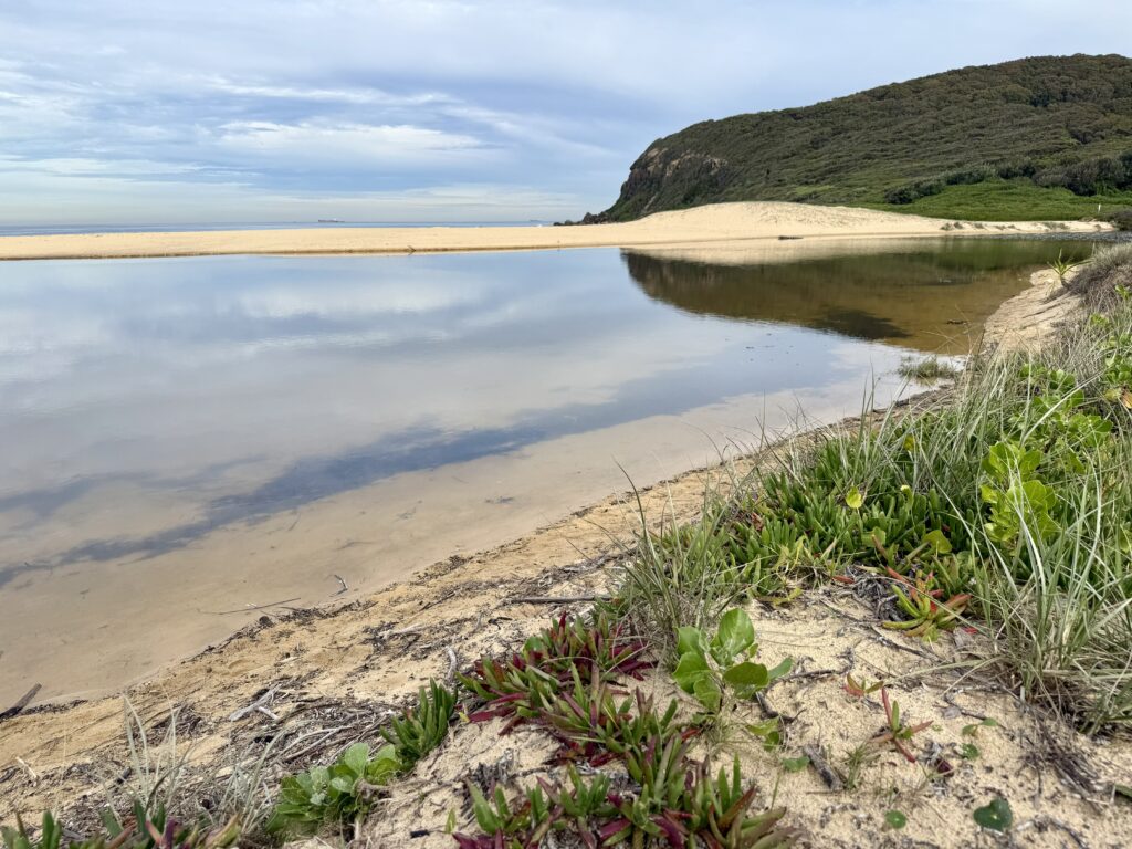
Glenrock Lagoon has an average depth of approximately 2.4 metres and is suitable for swimming. On warm days it’s a popular place to cool off before either returning via the track or continuing onto the beach itself.
Take your time on the walk back. The stairs are long and gets the heart pumping. The lookout provides an excuse to get your breath back. You’ve got this.!
Frequently Asked Questions
How long is the Yuelarbah Walking Track?
The walk from the car park to Glenrock Beach and back is approximately 6.8 km return, depending on your exact route and any side explorations.
Is Yuelarbah Walking Track suitable for children?
Yes. Families regularly walk the track. Younger children may need assistance on the stairs and uneven sections beyond the lookout.
Can I take a pram on the Yuelarbah Walking Track?
A pram or stroller can be taken as far as the lookout. The bitumen pathway is suitable, although assistance from two adults is helpful when negotiating the stairs.
Is the track wheelchair accessible?
The section from the car park to the picnic area is accessible via a sealed pathway. Due to the gradient, many wheelchair users would require assistance.
Are there toilets at the trailhead?
No. There are currently no toilet facilities at the Yuelarbah Track car park or along the track.
Can I ride a bike on the track?
No. Bikes are not permitted on the Yuelarbah Track.
Are dogs allowed?
No. Dogs are not permitted within this section of Glenrock State Conservation Area.
Is there swimming at the end of the walk?
Yes. Glenrock Lagoon is suitable for swimming and the beach is also easily accessible from the end of the track.
When is the best time to visit?
The track is enjoyable year-round, but it’s particularly beautiful after rain when Flaggy Creek’s waterfalls and cascades are flowing strongly.
Planning More Newcastle Adventures?
After your walk, you might also enjoy exploring more of the region:
- Best Things to Do in Newcastle
- Best Beaches in Newcastle
- Best Coastal Walks in Newcastle
- Free Things to Do in Newcastle
Remember to share this post with your walking buddies.